
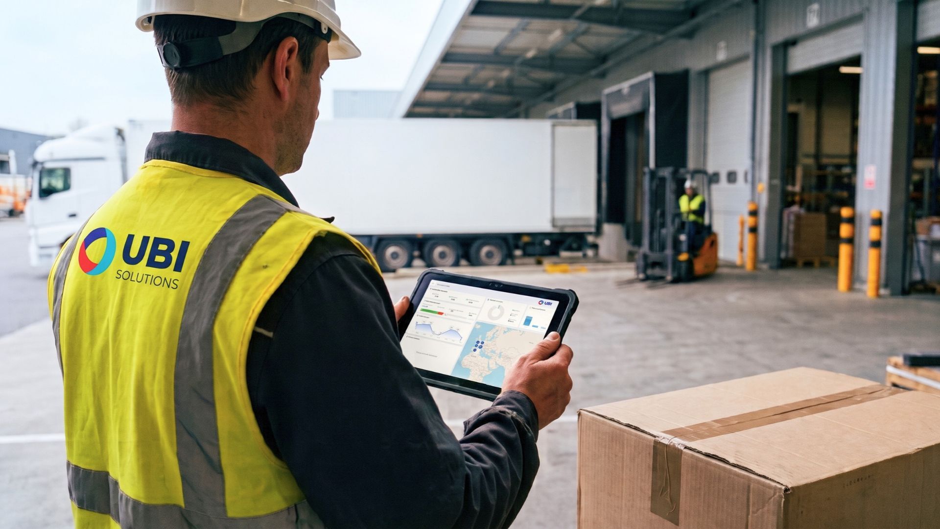
A Practical Guide for Supply Chain, Logistics, and Digital Transformation Managers.
A missing container can delay a shipment. A piece of equipment that’s available but misplaced can trigger an unnecessary purchase. In manufacturing and logistics, the challenge of asset tracking isn’t just about placing dots on a map, it’s about making equipment available in the right place at the right time.
When choosing an IoT platform for asset geolocation, compare five key factors: the real-time accuracy of location data, integration with the information system, actual coverage of operations, the robustness of the entire system, and measurable operational value. Then validate these criteria in the field before rolling out the solution on a larger scale.
Start with the operational need
An IoT (Internet of Things) platform centralizes the information collected by connected devices to track equipment, containers, or other physical assets. The complete solution combines devices attached to assets, location tracking capabilities, transmission networks, and business applications.
Start by describing the decisions that the data should enable: locating a tool, identifying a stationary container, verifying an arrival on site, or detecting an unplanned departure.
Define the scope before consulting suppliers
Include the following in your specifications:
- The assets involved: tools, carts, reusable containers, pallets, or production equipment.
- The route: a single building, an outdoor yard, inter-site movement, or international transport.
- The level of tracking required: presence on a site, identification of a zone, passage through a checkpoint, or detailed location.
- Expected update frequency: at each pass, at defined intervals, or during an event.
- Operational constraints: metal, humidity, impacts, cleaning, temperature, access to batteries, and network availability.
- The associated process: who receives the information, what action should follow, and how the result will be measured.
Example of a requirement to formalize: “Identify the zone where each available forklift is located before preparing a shipment.” This formulation is more useful for selecting a solution than “having real-time geolocation.”
Distinguish Between Identification, Location, and Transmission
These functions are not interchangeable. An identifier indicates which asset is being referred to. A location measurement indicates where it was detected or positioned. A network transmits this information to the application.
A final reading at a loading dock does not prove that an asset is still there. Similarly, a device capable of calculating its position does not guarantee that this position will be transmitted immediately.
Compare technologies and coverage
The choice isn’t simply a matter of comparing GPS and RFID. Multiple technologies can be combined, depending on the routes and the level of accuracy required.
| Technology | Usage to be evaluated | Points to Consider |
|---|---|---|
| Passive RFID, radio-frequency identification without a battery in the tag | Inventory management, container identification, detection at equipped checkpoints | The presence of a reader and reading conditions determine the available information; this is not a continuous position by default |
| BLE, Bluetooth Low Energy | Proximity detection or indoor positioning depending on the architecture | Accuracy depends on the method used and the deployment of receiving equipment |
| UWB, Ultra-Wideband | High-precision positioning within an instrumented area | Verify the actual need for accuracy and the costs of installing and maintaining the infrastructure |
| GNSS, including GPS | Outdoor positioning | Satellite signal reception may be degraded indoors; a transmission method is still required to report the position |
| LoRaWAN | Transmission of IoT messages within a covered area | Do not confuse the communication network with the location method; verify coverage, message frequency, and architecture |
| LTE-M or NB-IoT | Transmission of IoT data via a cellular network | Verify service availability along routes, operator agreements, and suitability for asset movements |
This table is intended to help preselect architectures, not to guarantee range, accuracy, or battery life. Performance must be validated under your specific operating conditions.
A hybrid architecture may be appropriate when an asset moves between a workshop, a yard, and another site. In this case, request a demonstration of the transition between technologies: Does the asset retain the same identifier? Does the history remain consistent? Are periods without a location visible?
For more information on selecting devices, consult the UBI Solutions guide on trackers.
Evaluate the Five Selection Criteria
Truly Actionable Visibility
The term “real time” must translate into verifiable commitments. Distinguish between the time the position is measured, the time it is received by the platform, and the time it is displayed in your business tool.
Ask to see:
- The timestamp and age of the last known location.
- How the system behaves when the asset stops transmitting.
- The distinction between no movement and no data.
- The alert rules and the handling of repeated or unjustified alerts.
- The impact of reporting frequency on battery life and costs.
An outdated location, displayed without warning, can lead to a poor decision. Opt for information whose recency and limitations are explicitly stated.
Integration with existing systems
A standalone map risks adding another screen without improving the process. Define the necessary data exchanges with your WMS (warehouse management system), ERP (enterprise resource planning), or production applications.
An API (application programming interface) is a means of data exchange, not sufficient proof of integration. Request documentation, a test environment, and a demonstration covering a complete scenario.
Be sure to check the following:
- Available data: asset ID, zone, location, timestamp, and relevant events.
- Data flow direction: reading positions, updating the repository, and reporting business changes as needed.
- Reliability: recovery after an interruption, handling of duplicates, and reporting of errors.
- Governance: Which system serves as the reference for an asset’s name, status, and assignment.
- Reversibility: export of historical data and conditions for data recovery at the end of the contract.
Have the standard configuration, custom developments, and their maintenance quoted separately.
Coverage of actual usage patterns
Coverage cannot be verified solely on a commercial map. Have the storage areas, loading docks, buildings, yards, and routes that are actually used tested.
Include challenging scenarios: assets stored in metal containers, high-density storage, changes in buildings, or transit through a partner site. For international shipments, ask for details on the countries covered, service limits, and any potential costs.
Key question: What happens to the data when no network is available? Ask whether events are logged, how they are relayed, and how outages appear in the history.
The robustness of the entire system
Robustness applies equally to tags and trackers as well as to gateways, the platform, and the maintenance organization.
Have the following documented:
- Resistance to the temperature, humidity, dust, washing, and impact conditions specific to your business.
- The durability of the fasteners on actual mounting surfaces.
- Battery life in your specific transmission configuration, not just in standby mode.
- Low-battery detection, replacement procedures, and associated costs.
- Availability commitments, support, and recovery procedures.
- Access management, logging, data protection, and security updates.
When tracking data can be used to identify individuals, involve your Data Protection Officer in the analysis. The CNIL regulates, in particular, the geolocation of employee vehicles: this situation requires a specific analysis of the purposes, authorizations, and notification of individuals. Asset tracking should not, by default, become a form of employee surveillance.
Operational ROI and total cost
Don’t just compare the unit price of the tracker. Request a total cost estimate for the same operating period, including hardware, installation, connectivity, subscription, integration, training, maintenance, and the ability to remove the devices.
Then link each expense to a verifiable outcome:
- Supply chain: container turnover, fixed assets, losses, and cross-site availability.
- Logistics: search time, reliability of recorded pickups, and availability at the time of order fulfillment.
- Digital transformation: quality of data exchanges, administrative effort, and ease of deployment at other sites.
Distinguish between actual cost savings and time saved. Saving time does not automatically translate to reduced expenses: specify how it will be reallocated or converted into operational capacity.
Develop a decision matrix
Use the same scenarios for each supplier. For each row, record your requirement, the proposed solution, the evidence provided, and the remaining gap.
| Dimension | Decision Question | Evidence to Request |
|---|---|---|
| Visibility | Does the data arrive quickly enough to trigger the expected action? | Timestamped history and interruption test |
| Integration | Is the event processed in the business application without requiring re-entry? | End-to-end exchange in a test environment |
| Coverage | Are critical areas and routes effectively covered? | On-site measurements and tests on the relevant routes |
| Robustness | Does the system remain operational under real-world conditions? | Hardware testing, maintenance plan, and service commitments |
| Value | Do the measured benefits justify the total cost? | Before-and-after comparison and detailed estimate |
First, categorize the requirements as deal-breakers, important, and optional. Rule out any solution that fails to meet a deal-breaker requirement before comparing its secondary features. Set your weightings before the demonstrations so that the sales pitch does not influence your evaluation.
Validate the value through a pilot
A useful pilot doesn’t just aim to show that a tracker is transmitting data. It verifies that the entire chain, from the asset to the business decision, functions under the conditions of the future deployment.
A phased validation approach
- Assess the initial situation. Record search times, observed losses, turnarounds, and incidents within a defined area.
- Select a representative sample. Include challenging terrains, routes, and conditions, not just the easiest area to cover.
- Set acceptance thresholds. Define the required accuracy, maximum data freshness, expected detection rate, and conditions for resuming operations after an interruption.
- Test the entire process. Verify data reporting to the business system, alert receipt, and the actual action taken by the user.
- Measure the operational effort. Factor in installation, incidents, maintenance operations, and support for the teams.
- Decide on deployment. Compare results, costs, and variances; document what needs to be corrected before scaling up.
Calculate the value without double-counting
To build your business model, use the following relationships with your actual data:
- Value of time saved = number of operations × time saved per operation × hourly cost used, with consistent units.
- Net operating gains = validated annual profits − additional annual recurring costs.
- Simple payback period = initial investment ÷ annual net gains, only if these gains are positive.
This payback period is not a net present value calculation. For a comprehensive investment decision, consider the asset’s useful life, cost trends, and your organization’s financial policies.
Avoid double-counting the same effect: reduced replacement purchases and lower losses may represent a single cost savings. Similarly, do not assume a benefit that was not observed during the pilot or confirmed by an explicit assumption.
Moving from the pilot to a multi-site rollout
Before rolling out the system widely, formalize a reproducible model: validated hardware, naming conventions, zone configurations, interfaces, training, maintenance, and responsibilities. A successful deployment at one site does not mean you can skip verifying environmental differences at the next one.
UBI Solutions offers Assets Tracking, among other solutions, for monitoring and geolocating equipment both indoors and outdoors. To assess whether it’s right for your project, the starting point should be your asset workflow and the requirements of your information system, rather than a promise of universal performance.
Are you planning an asset geolocation project? Talk to UBI Solutions Based on your processes, constraints, and metrics, we’ll define the scope of a study tailored to your operations.
FAQ and Resources
What’s the difference between an IoT platform and a GPS tracker?+−
A tracker is a device attached to an asset. GPS is a satellite-based positioning technology. The platform centralizes and makes the data reported by the devices usable. Performance depends on the entire chain: measurement, transmission, processing, and business use.
Is continuous tracking required for all assets?+−
No. For some workflows, a pass-through confirmation is sufficient. For others, an updated position during movement is necessary. Choose the service level that allows you to make the expected decision without imposing the same reporting frequency everywhere.
Does passive RFID allow for continuous geolocation?+−
Not by default. A passive RFID tag is identified when it is read by compatible equipment. A read allows the asset to be associated with a detection point or zone; it does not guarantee its position at every moment between two reads.
Can a single technology cover both indoor and outdoor environments?+−
It depends on the route, the infrastructure, and the expected accuracy. A combination of technologies may be useful. In that case, verify the continuity of identification, history, and visibility during transitions.
How can you compare battery life claims?+−
Ask for the assumptions: measurement frequency, transmission frequency, movement, network quality, and temperature. Request an estimate tailored to your configuration and an associated maintenance plan.
How can you avoid excessive dependence on the vendor?+−
Verify contractually that you have access to your data, export formats, interface documentation, exit costs, and the terms for taking back hardware or configuration. Test an export during the pilot.
Resources
- UBI Solutions - Asset Tracking: Overview of the solution and industrial applications.
- UBI Solutions - Choosing the Right Active and Passive Trackers: Overview of Devices and Use Cases. For technical evaluation, explicitly distinguish between passive tags and powered devices that transmit data periodically.
- CNIL - Geolocation of Employee Vehicles: specific guidelines for vehicles used by employees; the fact sheet indicates that it is currently being updated. Have your legal advisor or DPO verify that the application is appropriate for your situation.
The evaluation grids and selection process proposed in this guide constitute an evaluation method, not a certification of suppliers. The selected performance metrics and features must be confirmed in your specific context.

